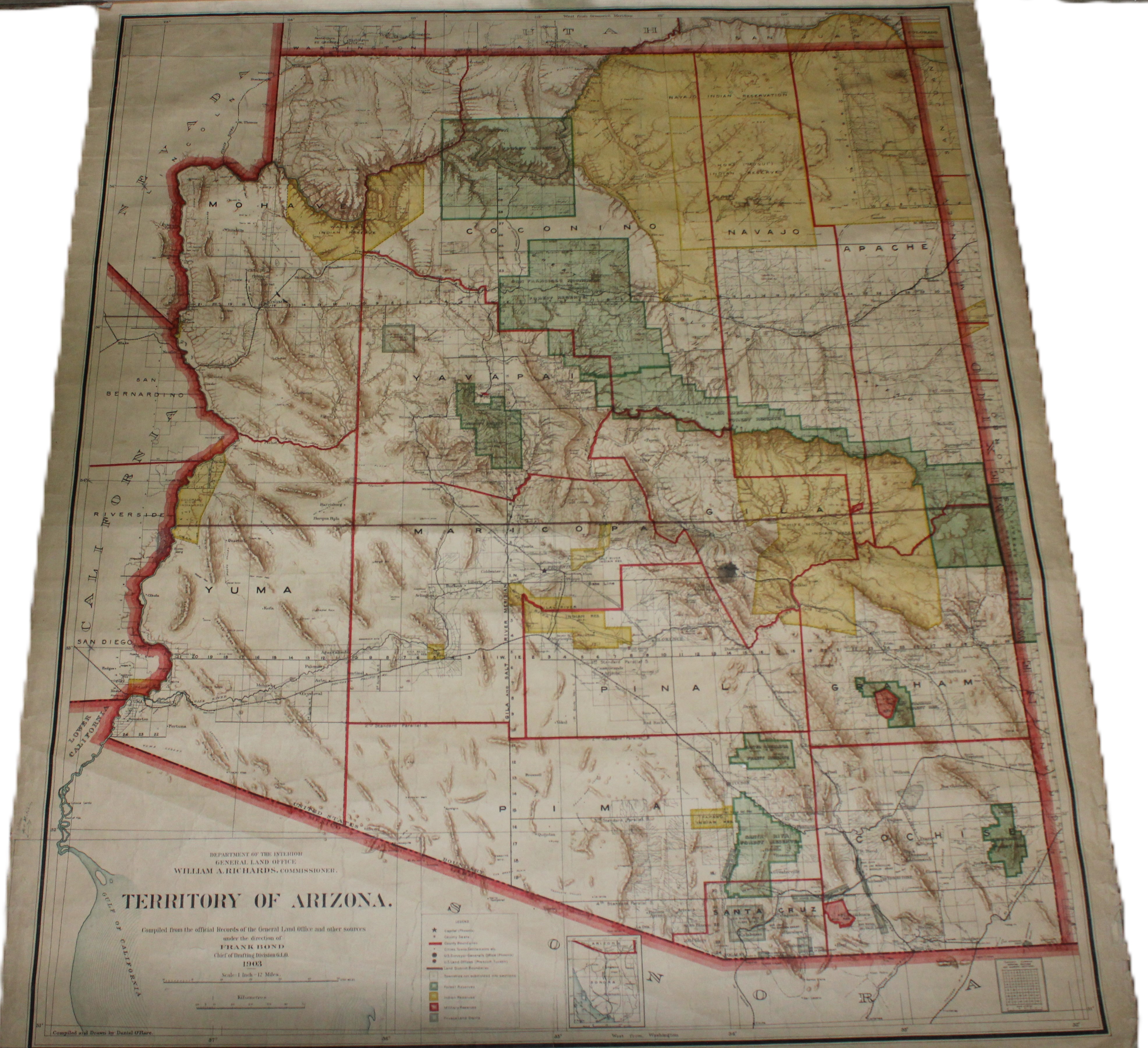
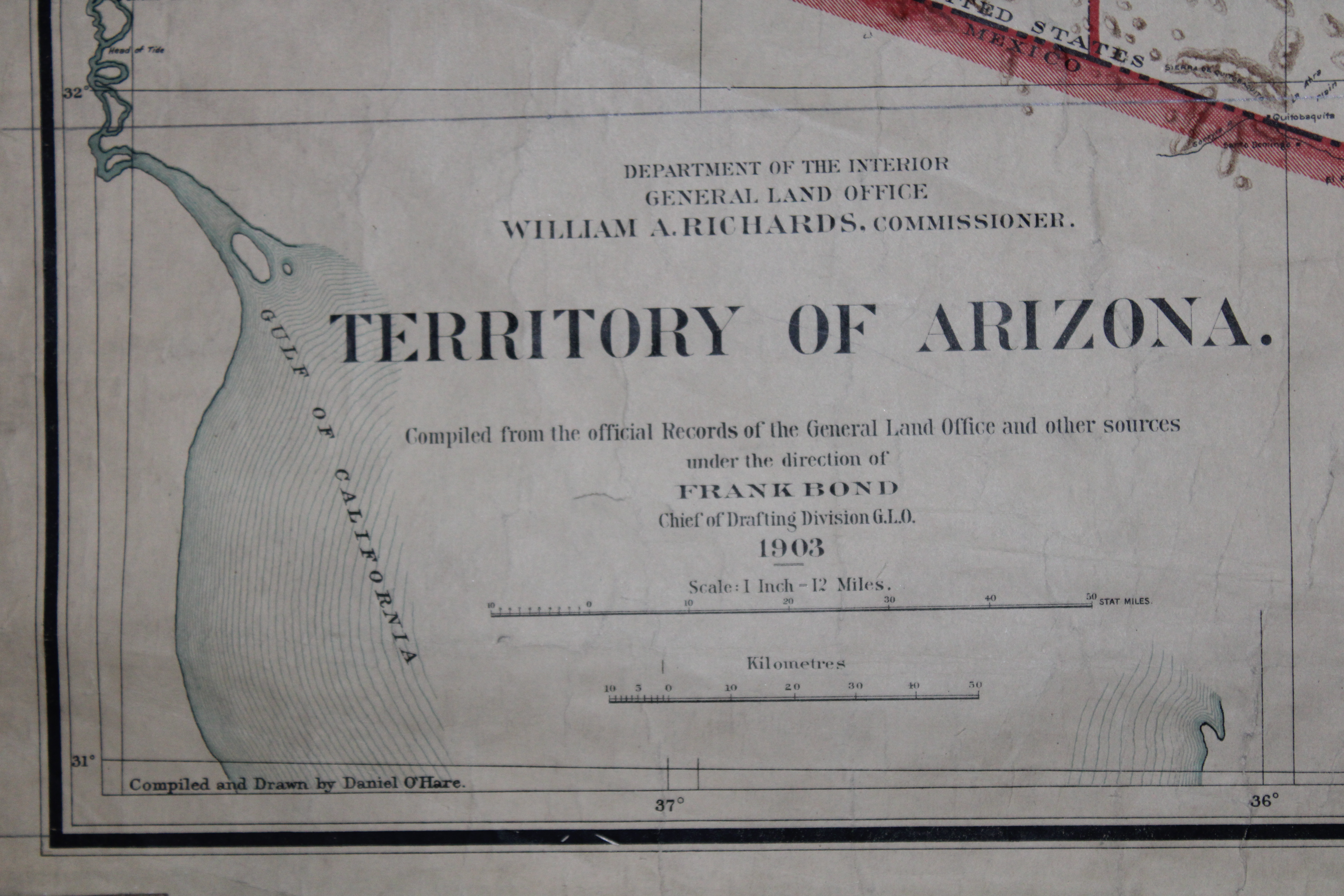
Historical map of the Territory of Arizona from 1903, compiled by the General Land Office under the direction of William A. Richards, Commissioner, and Frank Bond, Chief of the Drafting Division. This map was meticulously compiled from official records and other sources, featuring a scale of 1 inch to 12 miles. It provides a detailed representation of the Arizona territory during the early 20th century, including land surveys and geographic details. This piece is ideal for collectors of historical maps or Arizona history enthusiasts. 52*44
Historical map of the Territory of Arizona from 1903, compiled by the General Land Office under the direction of William A. Richards, Commissioner, and Frank Bond, Chief of the Drafting Division. This map was meticulously compiled from official records and other sources, featuring a scale of 1 inch to 12 miles. It provides a detailed representation of the Arizona territory during the early 20th century, including land surveys and geographic details. This piece is ideal for collectors of historical maps or Arizona history enthusiasts. 52*44