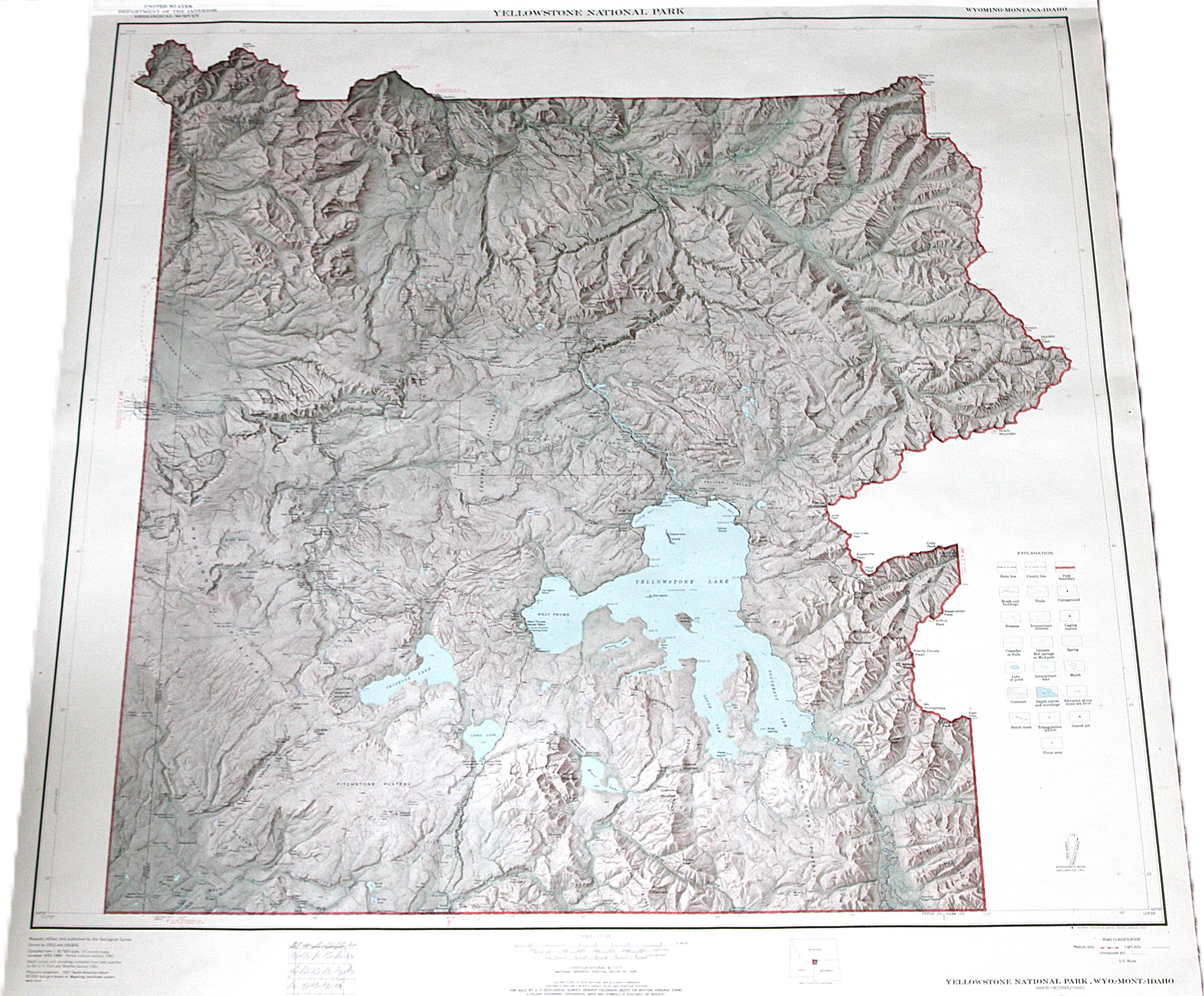
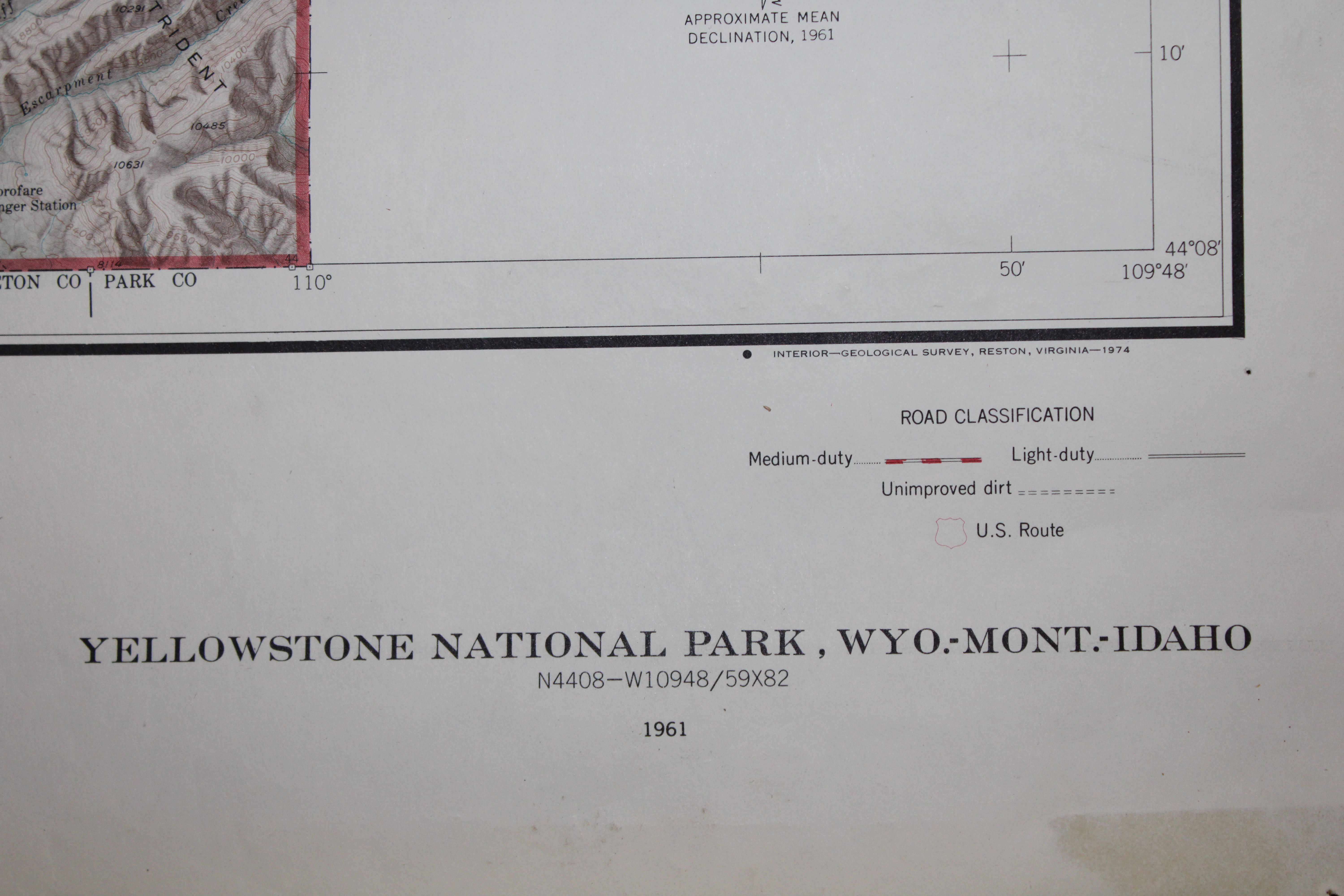
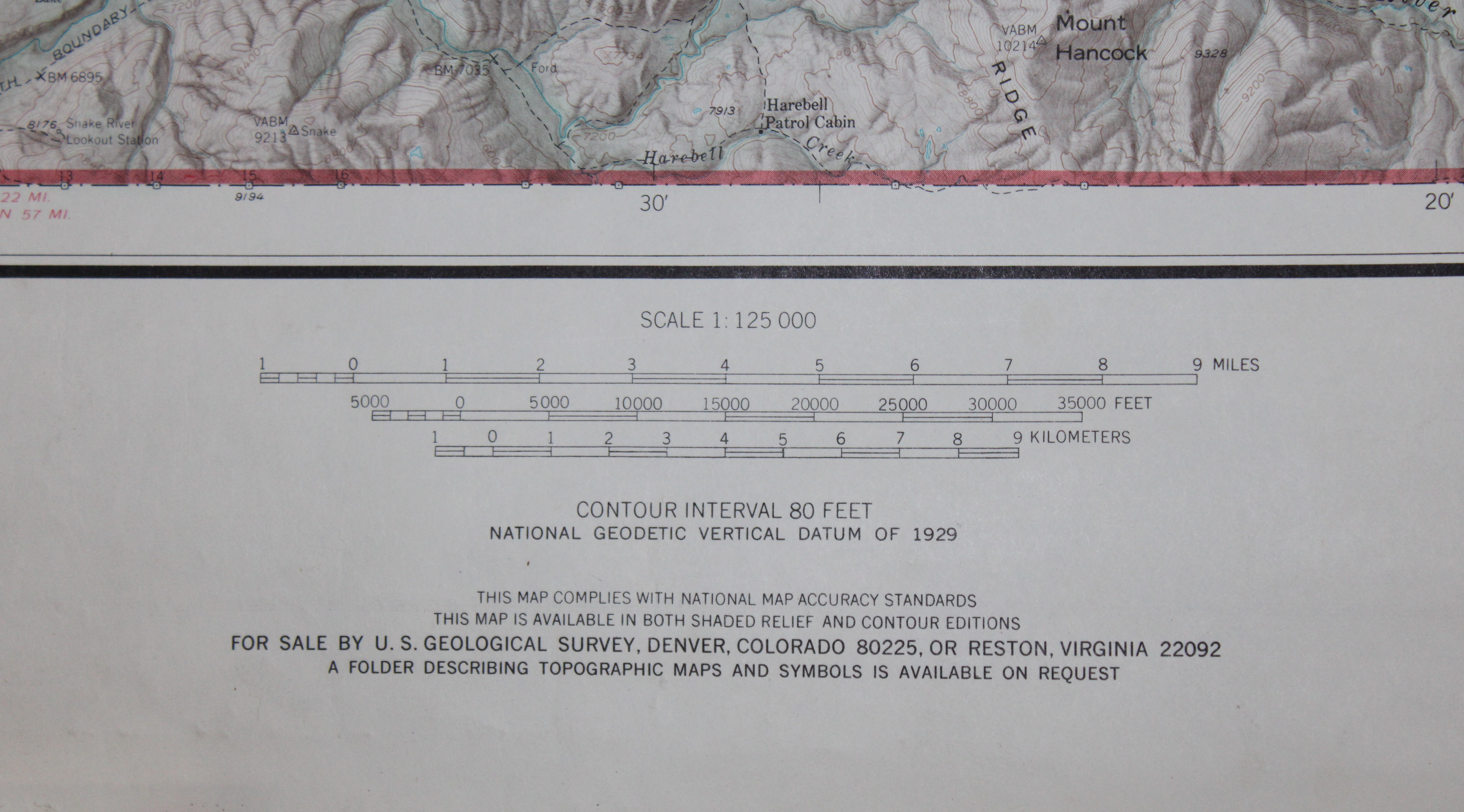
Topographic map published by the United States Geological Survey (USGS). The scale is 1:125,000, with a contour interval of 80 feet based on the National Geodetic Vertical Datum of 1929. This map complies with national accuracy standards and includes shaded relief and contour editions. It provides precise elevation and terrain details.
Topographic map published by the United States Geological Survey (USGS). The scale is 1:125,000, with a contour interval of 80 feet based on the National Geodetic Vertical Datum of 1929. This map complies with national accuracy standards and includes shaded relief and contour editions. It provides precise elevation and terrain details.